Services > Specialist Forensic Service > UAVs
UAVs: Aerial Remote Sensing
See also:
Forensic Anthropology
Forensic Archaeology
Spatial Analysis and Mapping Service
Walkover Survey
Archaeological Excavation
3D Crime Scene Modelling
Diatoms
3D Digital Body Reconstruction
Entomology
Soil Botany Pollen
Bones ID
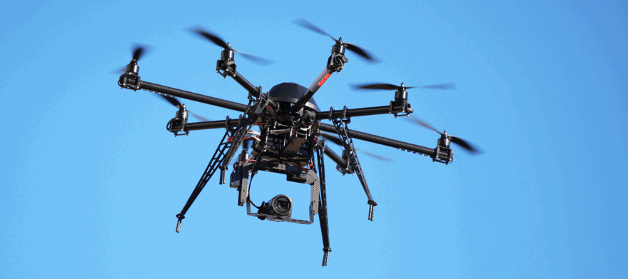
Unmanned Aerial Vehicles (UAVs), or Drones, are a valuable tool in forensic scene examination and landscape analysis. The imagery captured can be used to look for indications of human activity, such as concealed burials of human remains, weapons, or drugs, as well as patterns of movement through the landscape.
The correct combination of instruments, software, and analysts is essential to maximise the intelligence that can be gained. Still photographs and video footage are a basic, and very limited, function of drones, which we rarely use. Instead, we utilise:
to create highly detailed aerial photographs of large areas with staggering clarity and resolution.
to create photo-real digital 3D models of scenes and landscapes that can be viewed from any angle.
to create digital 3D models of the ground beneath trees that would be invisible to conventional aerial photography.
All of these datasets can be combined within our GIS systems for integrated analysis undertaken by highly experienced landscape and spatial analysts. The use of UAVs forms part of our Search Assessment and Mapping Service (SAMS).
We work in partnership with experienced UAV builders and operators (Flythru) to provide an advanced capacity for the capture and analysis of data, and together we pioneered the first use of UAV-captured LiDAR data in UK forensic casework in early 2016.
Flythru use a combination of bespoke fixed-wing and multi-rotor platforms and are fully licensed by the UK Civil Aviation Authority permit.